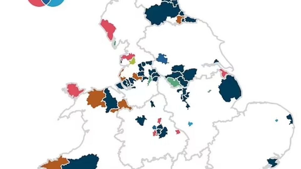
The sickest authorities in England and Wales were today revealed by a fascinating interactive map.
Census data collected by the Office for National Statistics shows the proportion of people living in each area that are in bad or very bad health.
It also breaks down the percentage of residents who're disabled and limited a lot in day-to-day activities, and those who provide unpaid care.
Analysis of the figures show there are 54 areas which rank in the worst 20 per cent among all three measures.
Merthyr Tydfil, in south Wales, came bottom of the table.


Leave a comment